
Geospatial Crime Tracking
Tobacco Wars
A specialised geospatial tracking platform documenting the escalating illegal tobacco black market. We aggregate scattered reports of arson and syndicate violence into a unified, interactive crime map, revealing the true toll on Australian communities.
Why Tobacco Wars Exists
Data-Driven Crime Reporting
The illicit tobacco trade is often only visible through fragmented local headlines. Tobacco Wars sets out to record the empirical reality of the conflict. By applying rigorous data collection and spatial analysis, we show the macro-level impact of these crimes, from individual targeted attacks to national geographic patterns.
Verified Sourcing
Every logged incident is backed by strict evidence standards. Data is drawn exclusively from published news, police reports and public records, complete with primary citations.
Precision Crime Mapping
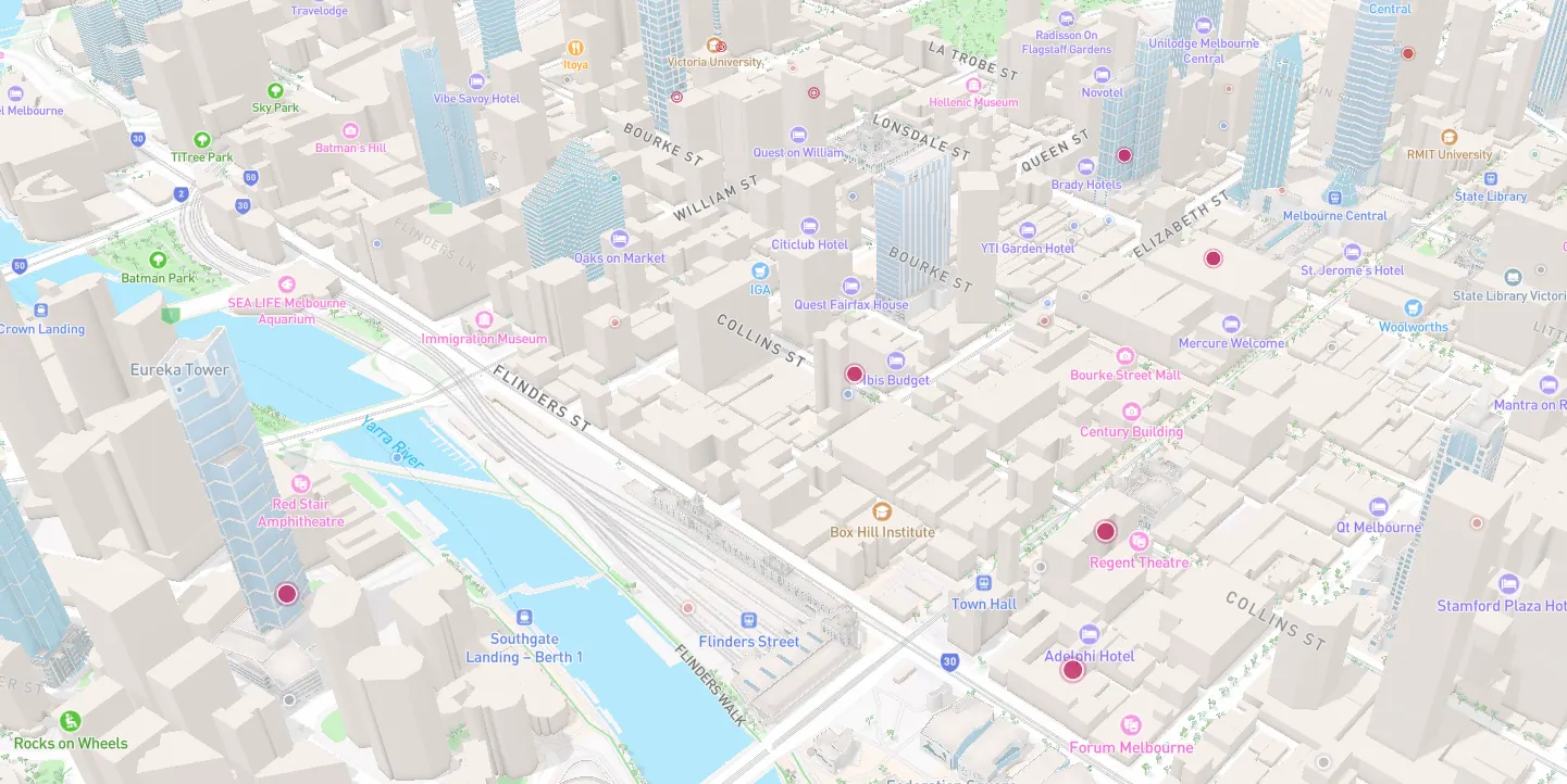
We plot each incident exactly where it happened. Visualise spatial clusters, hot spots and the concentration of gang-related violence across specific Australian suburbs.
Longitudinal Tracking
The conflict is not static. Our chronological timeline tracks the historical escalation of the turf wars, mapping how syndicate activities and arson attacks migrate over time.
The National Picture
By aggregating isolated local attacks into a single dataset, we provide a scientifically valid, comprehensive overview of the illicit trade across the country.
Unrestricted Access
Information concerning public safety should be open-source. The map is freely available in any browser, no app or account required, so vital data reaches those who need it.
See the Full Picture
Understand the true scale of the illegal tobacco and vape market. Explore the data, analyse the spatial trends and read the verified reports behind the violence. Visit tobaccowars.com.au to track the unfolding conflict across Australia.
Visit Tobacco Wars